Land for Sale
Offering a variety of affordable homesites with lot sizes to suit every household, Florence is built for families from all walks of life.

Is Hammond Park a good suburb? Find out in our suburb review for Hammond Park, WA, 6164, including the latest median house price, suburb population and more.
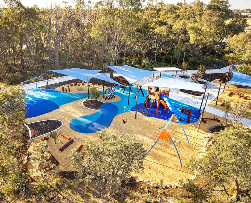
Hammond Park is a suburb that has come a long way and is poised for even greater growth in the near future. Its family-friendly environment, educational institutions, community spirit, and strategic location make it an attractive destination for those seeking a balanced and fulfilling lifestyle.
Key Statistics:
| Hammond Park | Greater Perth | |
| Median Age | 31 | 37 |
| Median weekly household income | $2,444 | $1,865 |
| Households with mortgage | 65.6% | 41.9% |
| Households renting | 23.6% | 26.6% |
| Family households | 82.6% | 71.5% |
| Couples with children | 55.2% | 45.7% |
| Persons born overseas | 41.2% | 40.5% |
| University qualification | 30.4% | 26.5% |
| Trade qualification | 20.9% | 16.9% |
| Unemployment rate | 3.4% | 5.3% |
Demographic Data Source - ABS Census 2021
Median house and rental prices current as at September 2023
Hammond Park is a suburb located in the southwestern region of Western Australia. Positioned approximately 27 kilometres south of Perth’s central business district, Hammond Park is part of the City of Cockburn local government area and Greater Perth.
Hammond Park is situated approximately 27 kilometres south of the Perth Central Business District (CBD). The suburb’s location places it within a reasonable commuting distance, with travel times typically ranging from 25 to 30 minutes by car, subject to traffic conditions.
A vibrant new residential community, Florence is where freedom is, quite literally, all around.
Offering a variety of affordable homesites with lot sizes to suit every household, Florence is built for families from all walks of life.
Featuring a range of house and land packages from spacious family homes to all inclusive townhouses, Florence has something for every lifestyle and budget.

All you need to know is right at your fingertips. Tour our Virtual Sales Office and click the icons to reveal Florence, from a map of nearby amenities to the interactive 360-degree estate map.

Mueller Grove, Mandogalup WA 6167


"*" indicates required fields