
Land for Sale
Offering a variety of affordable homesites with lot sizes to suit every household. Florence is built for families from all walks of life.
Is Mandogalup a good suburb? Find out in our suburb review for Mandogalup, WA, 6167, including the latest median house price, suburb population and more.
Mandogalup’s journey began as a small settlement with a modest population. However, in recent years, this suburb has witnessed significant growth and transformation, attracting a diverse mix of residents. The community has flourished, welcoming numerous young families drawn to its suburban charm and modern amenities.
Key Statistics:
| Mandogalup | Greater Perth | |
| Median Age | 31 | 37 |
| Median weekly household income | $2,750 | $1,865 |
| Households with mortgage | 66.7% | 41.9% |
| Households renting | 0.0% | 26.6% |
| Family households | 89.1% | 71.5% |
| Couples with children | 33.3% | 45.7% |
| Persons born overseas | 34.4% | 40.5% |
| University qualification | 27.1% | 26.5% |
| Trade qualification | 16.8% | 16.9% |
| Unemployment rate | 0.0% | 5.3% |
Demographic Data Source - ABS Census 2021
Median house and rental prices current as at September 2023
Mandogalup is a suburb located in the southwestern region of Western Australia. Positioned approximately 31 kilometres south of Perth’s central business district, Mandogalup is part of the City of Kwinana local government area and Greater Perth.
Mandogalup is situated approximately 31 kilometres south of the Perth Central Business District (CBD). The suburb’s location places it within a reasonable commuting distance, with travel times typically ranging from 25 to 30 minutes by car, subject to traffic conditions.
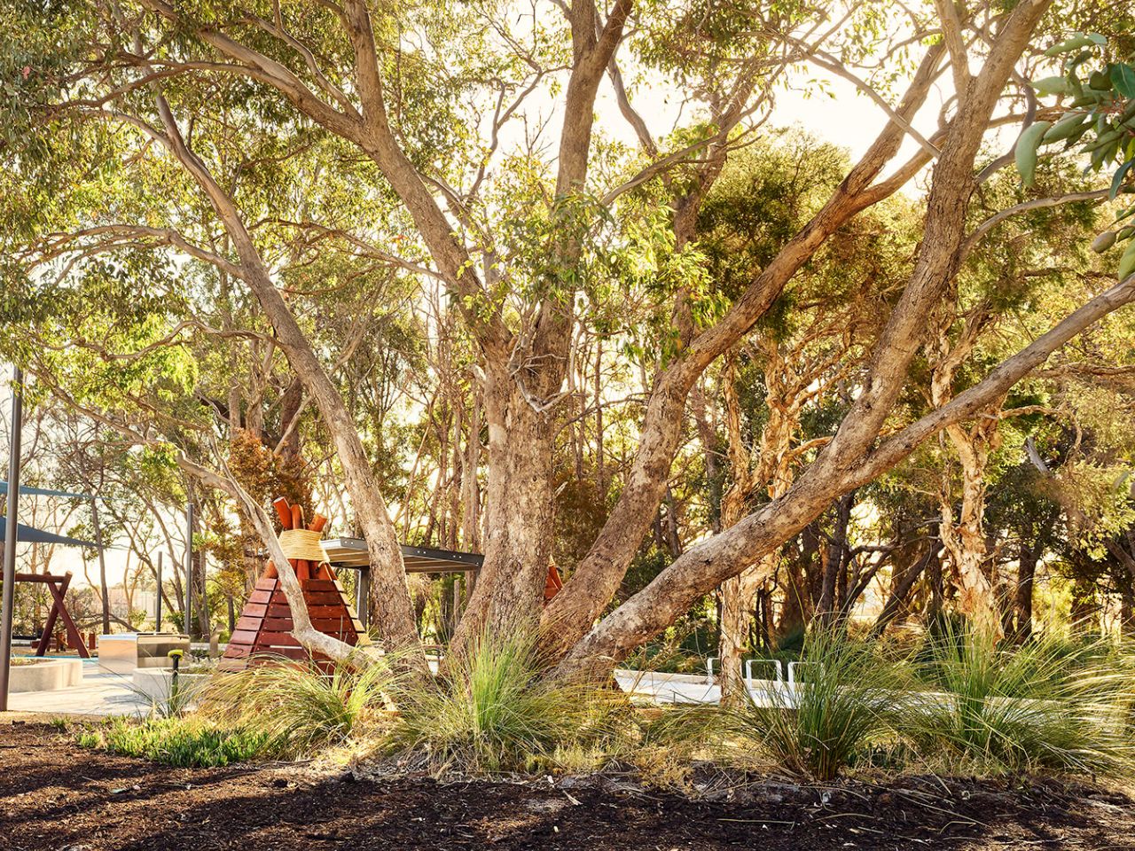
A vibrant new residential community nestled in the heart of Mandogalup, Florence is where freedom is, quite literally, all around.
Offering a variety of affordable homesites with lot sizes to suit every household. Florence is built for families from all walks of life.

Featuring a range of house and land packages from spacious family homes to all inclusive townhouses, Florence has something for every lifestyle and budget.

All you need to know is right at your fingertips. Tour our Virtual Sales Office and Click the icons to reveal Florence, from a map of nearby amenities, to the interactive 360-degree estate map.
View our other Suburb Profiles
Mueller Grove, Mandogalup WA 6167


"*" indicates required fields