Land for Sale
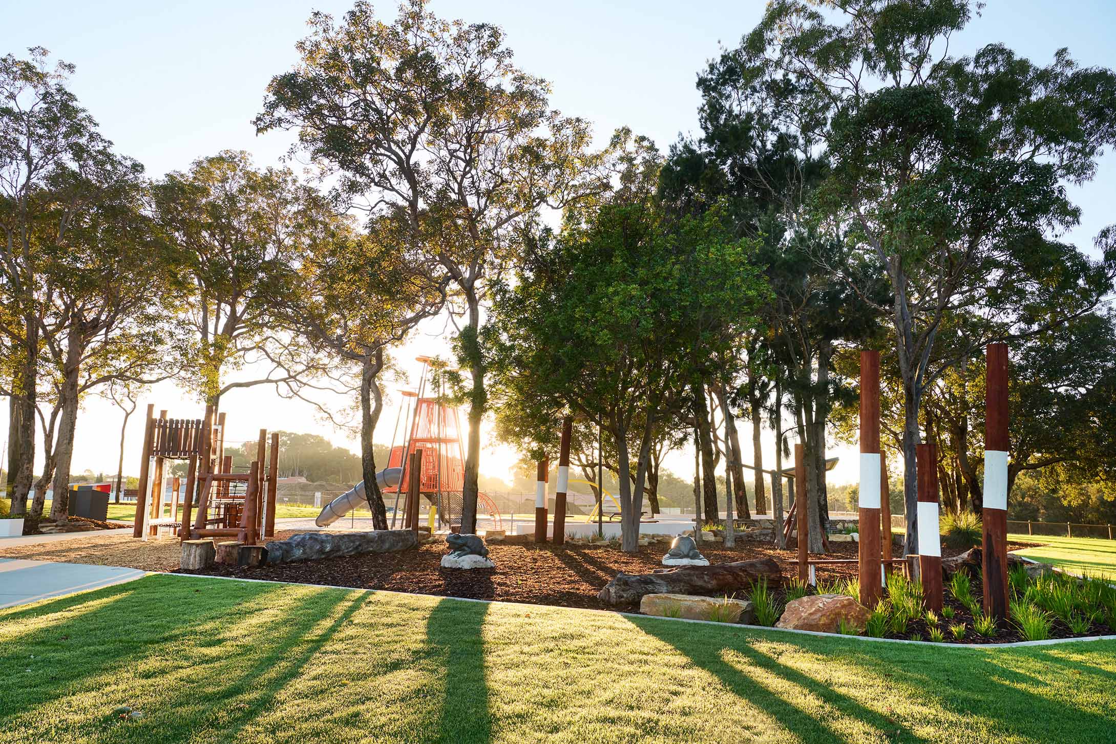
Build a home that's intertwined with nature yet minutes from urban centres with Myella's range of two-storey-ready cottage lots.
Is Wanneroo a good suburb? Find out in our suburb review for Wanneroo, WA, 6065, including the latest median house price, suburb population and more.
As Wanneroo continues to grow and evolve, it remains an attractive choice for individuals and families seeking a balanced lifestyle that combines modern amenities with natural beauty. With its excellent schools, recreational opportunities, and access to transportation and shopping centres, Wanneroo is poised to be a strong growth area.
Key Statistics:
| Wanneroo | Greater Perth | |
| Median Age | 35 | 37 |
| Median weekly household income | $1,685 | $1,865 |
| Households with mortgage | 54.0% | 41.9% |
| Households renting | 21.9% | 26.6% |
| Family households | 78.7% | 71.5% |
| Couples with children | 50.2% | 45.7% |
| Persons born overseas | 44.9% | 40.5% |
| University qualification | 17.2% | 26.5% |
| Trade qualification | 20.8% | 16.9% |
| Unemployment rate | 5.7% | 5.3% |
Demographic Data Source - ABS Census 2021
Median house and rental prices current as at September 2023
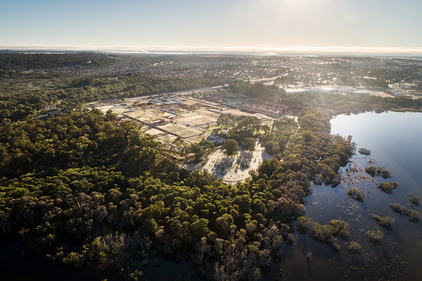
Wanneroo is a suburb located in the southwestern region of Western Australia. Positioned approximately 25 kilometres north of Perth’s central business district, Wanneroo is part of the City of Wanneroo local government area and Greater Perth.
Wanneroo is situated approximately 25 kilometres north of the Perth Central Business District (CBD). The suburb’s location places it within a reasonable commuting distance, with travel times typically ranging from 28 to 32 minutes by car, subject to traffic conditions.
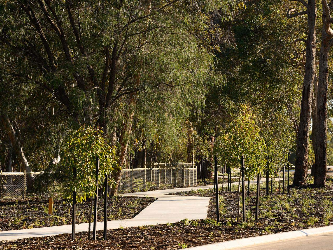
Cradling the tranquil waters of Lake Joondalup, Myella in Wanneroo is a neighbourhood designed for neighbours.
Build a home that's intertwined with nature yet minutes from urban centres with Myella's range of two-storey-ready cottage lots.

Start your life in Myella with an affordable selection of enviable double-storey family homes available in 3 or 4 bedroom configurations.
Walk into a haven of architectural inspiration and captivating home designs in Myella's display village in Wanneroo.
View our other Suburb Profiles

"*" indicates required fields
