Land For Sale
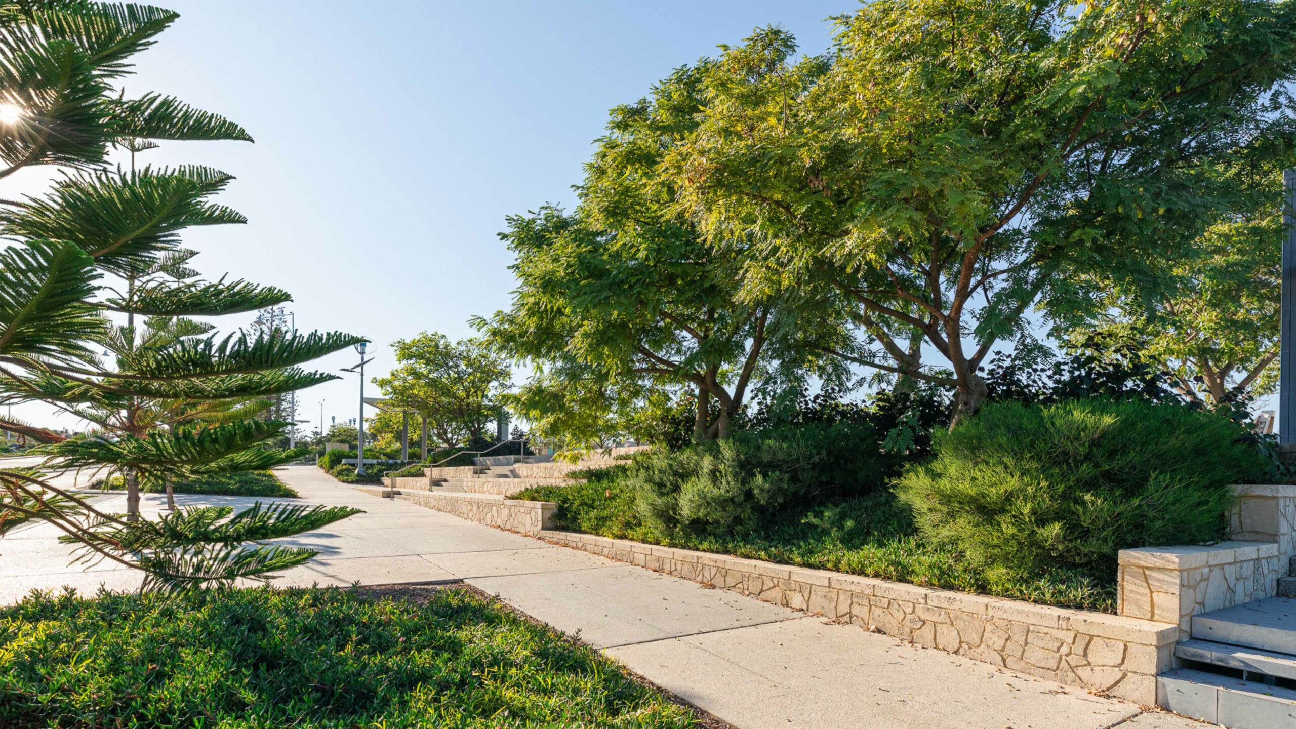
With three distinct precincts, Catalina offers a mix of homesites set among natural bushland, with easy access to Mindarie Beach and well-appointed local amenities.
Is Clarkson a good suburb? Find out in our suburb review for Clarkson, WA, 6030, including the latest median house price, suburb population and more.

Clarkson is a dynamic and thriving suburb located in the northern part of the Perth Metropolitan district. Over the past decade, Clarkson has experienced significant growth and transformation, making it one of the most promising areas in the region. From its humble beginnings with a small population, Clarkson has evolved into a vibrant and diverse community, attracting families and individuals alike.
Key Statistics:
| Clarkson | Greater Perth | |
| Median Age | 34 | 37 |
| Median weekly household income | $1,761 | $1,865 |
| Households with mortgage | 51.8% | 41.9% |
| Households renting | 30.6% | 26.6% |
| Family households | 74.3% | 71.5% |
| Couples with children | 43.7% | 45.7% |
| Persons born overseas | 47.5% | 40.5% |
| University qualification | 18.5% | 26.5% |
| Trade qualification | 14.13% | 16.9% |
| Unemployment rate | 6.5% | 5.3% |
Demographic Data Source - ABS Census 2021
Median house and rental prices current as at September 2023
Clarkson is a suburb located in the southwestern region of Western Australia. Positioned approximately 35 kilometres north of Perth’s central business district, Clarkson is part of the City of Wanneroo local government area and Greater Perth.
Clarkson is situated approximately 35 kilometres north of the Perth Central Business District (CBD). The suburb’s location places it within a reasonable commuting distance, with travel times typically ranging from 30 to 35 minutes by car, subject to traffic conditions.
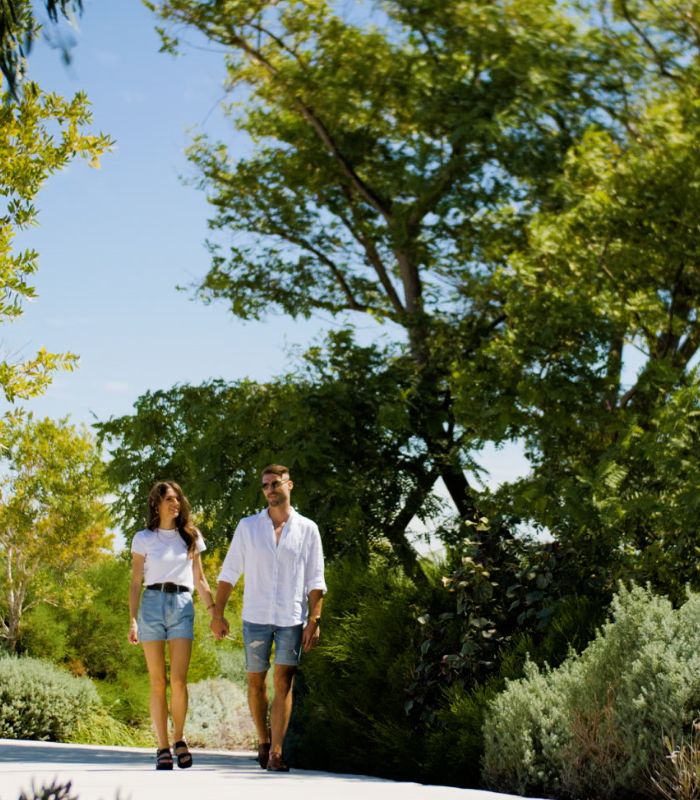
Masterplanned across three distinct neighbourhoods, Catalina offers affordable choices to live a relaxed, idyllic lifestyle.
With three distinct precincts, Catalina offers a mix of homesites set among natural bushland, with easy access to Mindarie Beach and well-appointed local amenities.
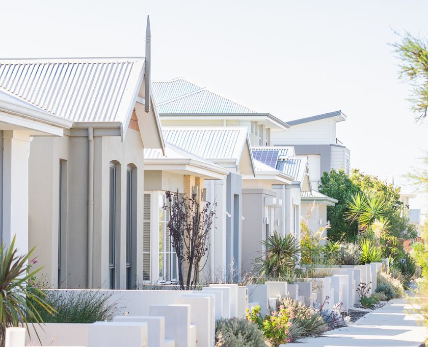
From large family homes to double-storey terraced houses, Catalina offers a variety of living options so you can create your own special slice of life.
Discover your future home at Catalina with our display village in Mindarie. Find your style with our extensive range of house designs, all suited to life at Catalina.
16 Portofino Promenade, Mindarie WA 6030


"*" indicates required fields